In general.
The following browsers are supported by BayernInfo: Google Chrome, Firefox, Edge and Safari.Which browsers are supported by BayernInfo?
Apps for Android and iOS are provided.Which smartphone operating systems are supported?
You are welcome to contact us at our e-mail address support@bayerninfo.de.To whom can I send suggestions and proposals for improvement?
Map.
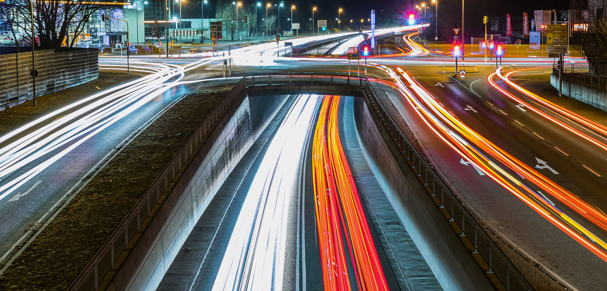
The colors on the roads indicate the traffic situation. For more information, see the legend (in the map at the bottom right).What do the green, yellow and red lines mean?
To switch the traffic situation info off and on, click on the "Traffic" icon in the top right corner of the menu.How can I turn the traffic situation off and on?
You can find information about future construction sites in the tab Current construction sites. You can display construction sites there for a specific time or even an entire period. However, planned measures may be postponed. The information is updated continuously. Can I also view construction sites or closures in the future?
The circle means that different means of transport depart from this stop. The icon shows only the highest-ranking means of transport at each stop.What does the quarter circle at the top right of the stops icon mean?
POI stands for "Point of Interest". This refers to all local conditions that could be of interest for planning a route, such as restaurants, ATMs, gas stations, etc.What are POIs?
For overview reasons, individual POI categories are hidden at coarser zoom levels. Zoom in to show them.I have switched the stops or POIs to visible, but I don't see them on the map. Where can I find them?
You can find the legend in the map window at the bottom of the right side by clicking on the info icon.Where do I find the legend?
Reporting errors.
We obtain the background map from third parties and update it regularly. It may therefore take until the next update until the map is up to date again. If the error is not fixed after that, you can contact support@bayerninfo.de.I have discovered an error in the background map. What can I do?
Due to the large number of construction sites, we are unable to map every report, so we limit the reports to projects that affect roads with heavier traffic. On these, there is the potential for significant traffic impact, as lane closures may be necessary, for example.
If you would like to alert us to such a major notification that we are incorrectly depicting or not depicting at all, please contact us at support@bayerninfo.de. You can find more information in the tab „About BayernInfo“ → Data Sources.
The construction site or closure in the map is incorrect or I know of an important construction site or closure that is not displayed. What can I do?
The data originates from DEFAS Bavaria and is regularly updated and transferred to BayernInfo. Despite the greatest possible care, errors are reserved. If you have discovered an error and would like to report it, please contact support@bayerninfo.de oder directly DEFAS Bavaria respectively Bayerische Eisenbahngesellschaft mbH.I have discovered an error in the "Stops" section. What can I do?
For the POIs, we use the freely available data from OpenStreetMap, which we update quarterly. Therefore, it may take until the next update date until we map the current status. If the error is not fixed after that, you can contact support@bayerninfo.de.I have discovered an error in the "POIs" section. What can I do?
Traffic cameras.
The images are updated every 10 seconds to 30 minutes and depict the present.How often are the images updated? Is it live data?
It can happen that cameras fail and/or need maintenance. Unfortunately, we then have no pictures available.The camera does not display an image. The message "Derzeit kein Bild verfügbar" appears.
The cameras are used exclusively for mapping the traffic situation. For this reason, the cameras are mounted and the image resolution is reduced so that no personal data is normally recorded anyway. In addition, the images are automatically checked for faces and license plates using a special tool. This tool censors this information without intermediate storage. Only afterwards, the images are published. Are faces or license plates recognizable on the camera images and is this data stored?
Due to the current situation in Europe, only a limited number of traffic cameras are available. We hope to be able to offer this service in full again soon.Where can I find more traffic camera images?
When selecting locations for new cameras or relocating existing cameras, we prioritize in particular locations prone to traffic jams or accidents. Furthermore, rest areas and construction sites are regularly equipped with cameras. Sections of road that are prone to black ice are also important for winter road maintenance.Why are some streets equipped with cameras and some are not?
Responsibility for municipal roads lies with the municipality itself. We cannot install cameras here. Through cooperation, however, we have managed to integrate traffic images from some cities into the system.Why are there few cameras in the municipal area?
Freight transport.
The colors indicate the truck occupancy. Blue means that no occupancy data is available. Green means that truck parking spaces are free. Red indicates fully occupied parking spaces.What do the colors blue/green/red mean for the truck parking spaces?
Currently, we only calculate routes for cars, public transport, bicycles and pedestrians. We do not offer truck routes yet.
Are there routing options for trucks as well?