For a quick overview.
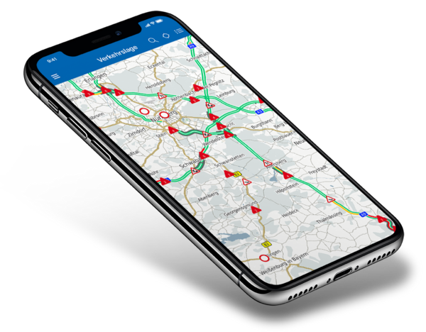
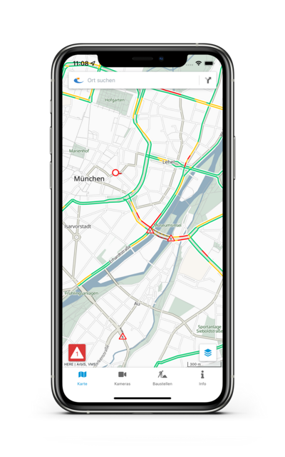
Traffic situation map
Bayerninfo combines data from different sources to a comprehensive traffic situation map. For 55,000 km of roads, real time data are available, which are used to calculate congestion messages. The police notifies about any kind of dangerous situations. Road works information for the Bavarian road network is provided by Highways Agencies, Road Maintenance Offices, Districts and Cities.
In this service, you can plan your route for all modes of transport. For the public transport modes, real-time data is included.
Short video BayernInfo (GER)When you open the link to the video, content is loaded from Youtube and thereby your IP address is transmitted to YouTube. >Privacy Policy
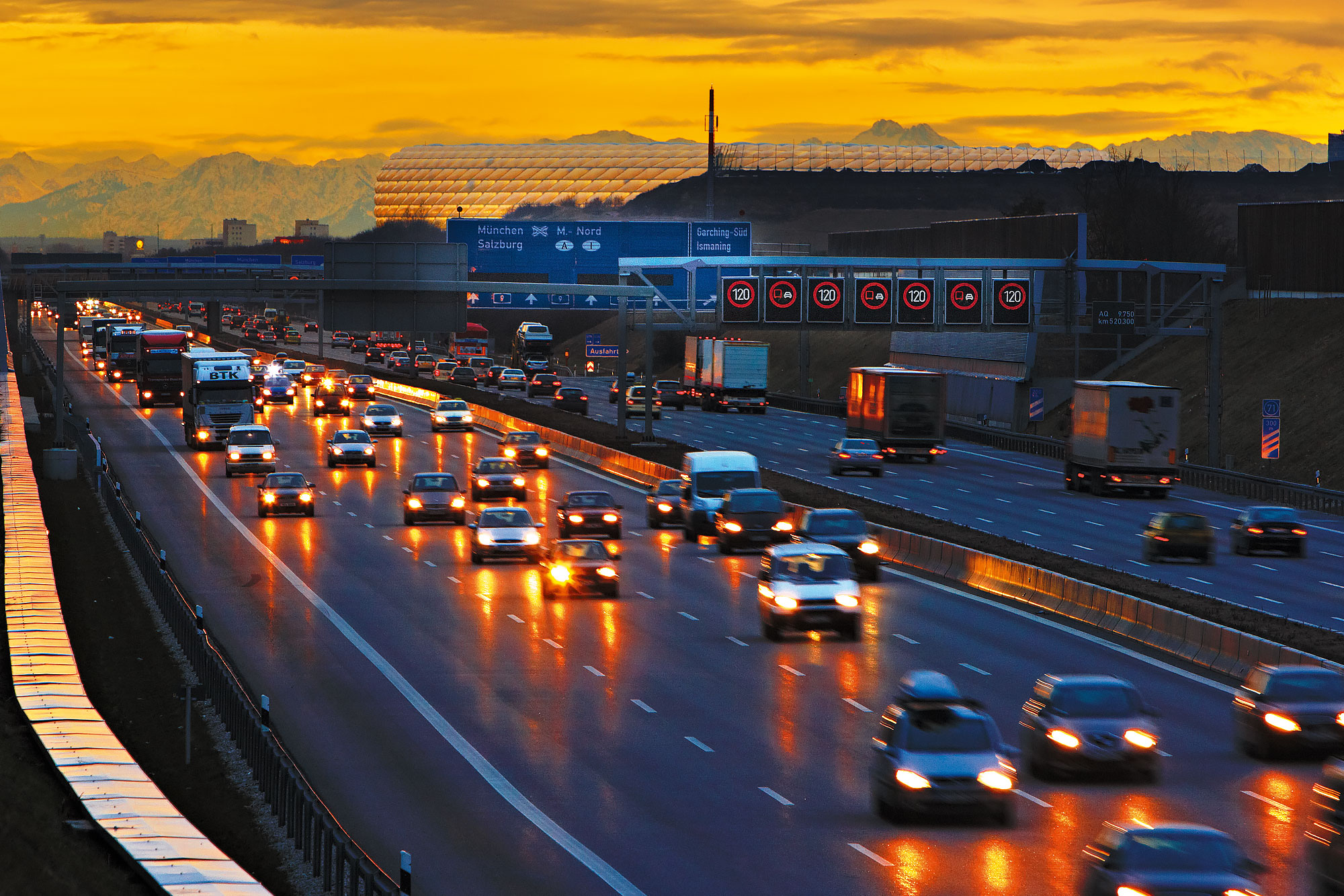
Clear view on traffic.
Traffic cameras
Currently, live images of over 260 webcams on Bavarian motorways and ca. 70 webcams on rest areas, mobile webcams in construction zones and inner-city webcams are included in Bayerninfo. An extension of the webcam service is planned for 2020. The cameras give you an impression of the current traffic situation, but will not show personal information like license plates or faces.
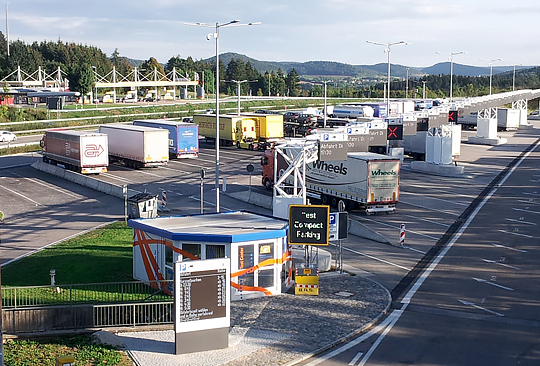
Trucking through Bavaria.
Freight transport
For freight traffic, BayernInfo provides information on the current occupancy of truck parking spaces on the A9, A3 and A93. In addition, information on the equipment of rest- and service areas and parking fees of parking garages is provided. Furthermore, information on freight village locations in Bavaria is integrated.
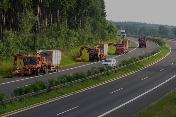
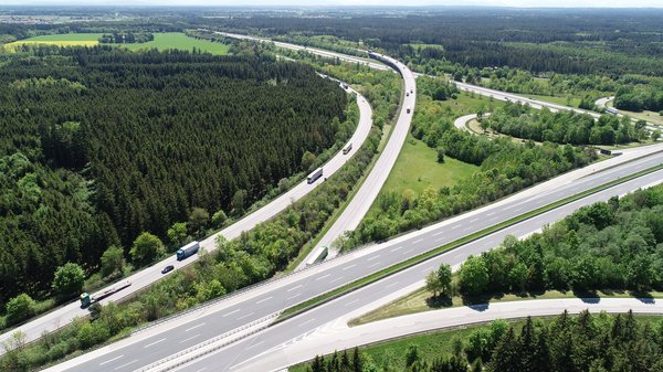
Real-time road works.
Road works
The Bavarian Road Administration is a major source for information on road works and road closures, as its authorities are responsible for planning and execution of road works on the Bavarian network of highways, federal roads, state roads and district roads. Every year, Bayerninfo receives detailed information on 500 large-scale road construction measures on highways and about 1,500 messages on road works on the subordinate roads. In Addition there are 15,000 short-term road works like moving road works for maintenance. The data is published on Bayerninfo, but also provided for logistics and navigation services or websites.

MoBY
MoBY is the free mobility app for all of Bavaria. It is the personal travel companion for all users of public transport. Plan trips, book tickets, find out about delays, report connection requests: MoBY knows almost all connections in Bavaria and beyond, whether in the city or in the country, whether by train, subway or S-Bahn, bus , tram and sharing providers (e-scooters, rental bikes etc.) or with the call bus.
MoBY

Bavarian Network for Cyclists.
The Bavarian Network for Cyclists offers information on bicycle tracks . It covers more than 120 long-distance tracks including a route planner for bikes, detailed descriptions and additional links e.g. on accomodation, sights and special POI for cyclists.
Bavarian Network for Cyclists